Thursday, June 11th, 2026
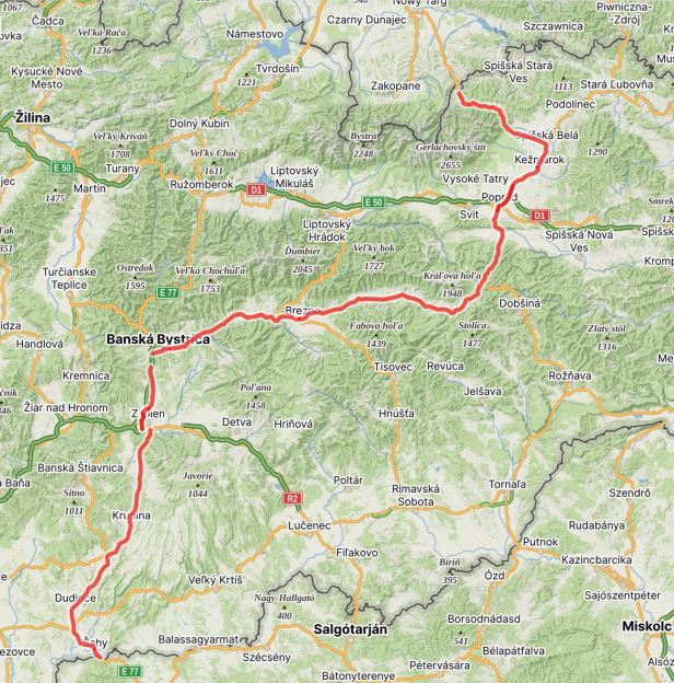
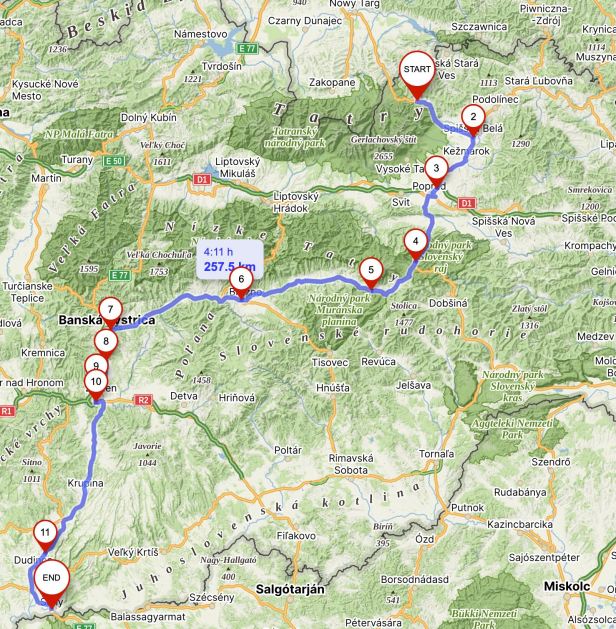
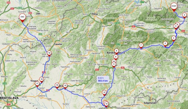
Distance ridden on Slovak Route 66 – 258 Kilometres (and that is all of them)
Distance ridden in total – 584 Kilometres
The phrase “it is now or never” is slightly hackneyed and very overworked – but, when we woke up, it was “now or never”.
Sadly, it was still raining ! Not just raining, I might add, but bucketing down as it had been, practically without taking a breath, for over thirty hours.
The weather Apps had insisted it would stop in the night and, because it got light so early, it had been our original plan to be on the road by six in the morning. Those same Apps still insisted that it would stop at any moment. Sadly, that did not happen. Lucie packed our wheelie bag – and we sat waiting and reading ..…
A tin roof has a lot of qualities. It is not, apparently, a place for a cat if it is hot, but it is a good acoustic sounding board. You know when it is raining – you do not need to look out of the window, you can hear it. Equally, you know when it STOPS raining, as it goes quiet. Shortly before six-thirty, the drumming dwindled and then stopped. Then we did look out of the window ….
It was still drizzling – but that was dwindling away to nothing……
Lucie went for a smoke and confirmed it had stopped.
That meant it was NOW !
We were ready and Lucie has stowing our stuff onto the Harley down to a fine art – we even had our new luggage tightly affixed in a record time. We are coming to love that bag ! It was still damp and gloomy as we pulled away.
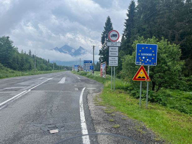
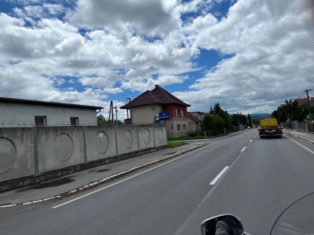
At the main road, which is Route 66, we turned and went North, heading for Poland again. We had seen and ridden this part when we arrived in Slovakia, but I wanted to do the whole thing in one hit – and it only added about twenty kilometres.
At the Polish border we crossed, then turned around and began the trip South.
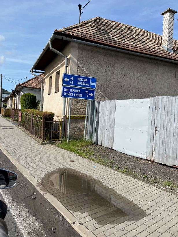
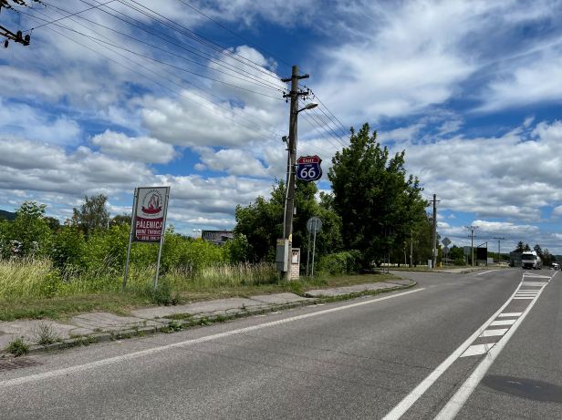
This time I remembered to photograph the first “66” designated kilometre marker. This is actually some way from the border (but, obviously, less than a kilometre) and reads 243.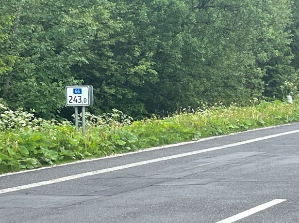
I remarked to Lucie that at least we knew exactly how far we had to go. This may not be exactly true as will be apparent later. We also captured some of the grim repairs to that lonely piece of road.
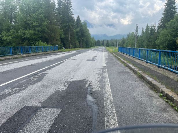
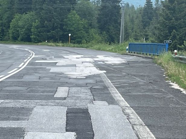
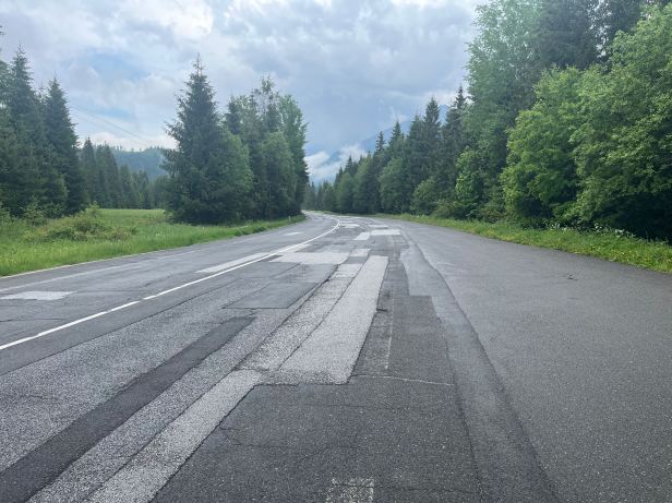
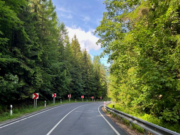
Perhaps the residents of Javorinka and Podspády, the first two tiny settlements that you come to, have upset someone in the Highways department. As I remarked before, these shoddy patches would not be much fun if you hit one wrongly, or on a damp road.
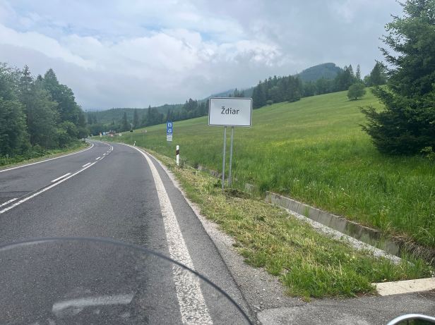
We passed back through Ždiar and onward down the hill.
We passed the Koliba where we had lunch and then the turning towards the Lomnický Štít.
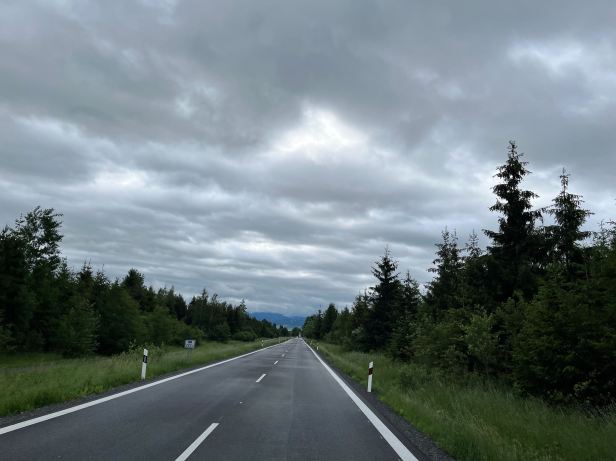
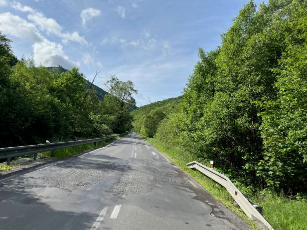
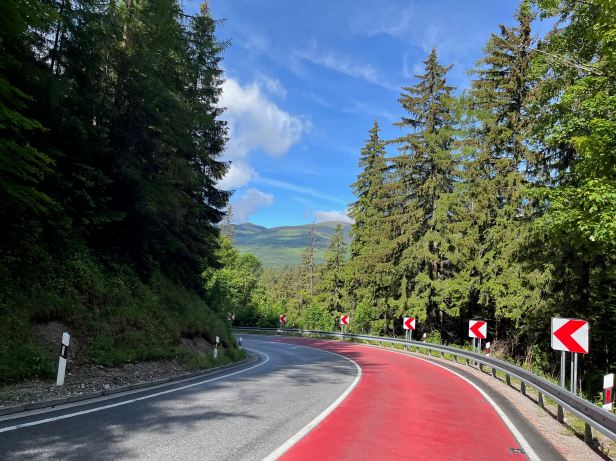
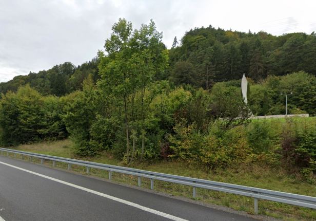
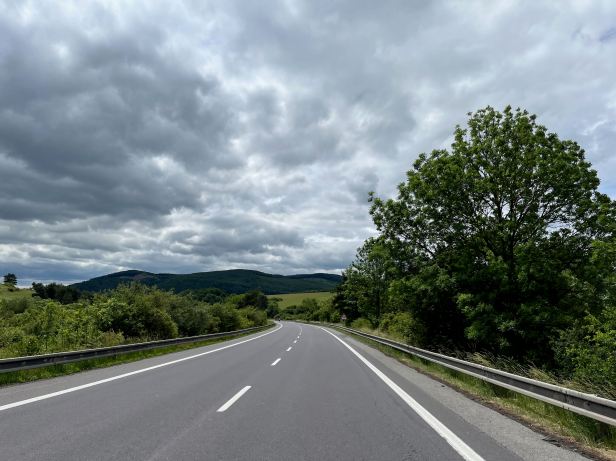
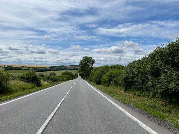
We were now into previously unexplored territory. The road was still damp and greasy in places and the weather was far from warm, so I had to be a bit cautious. I was wearing my fingerless riding gloves and the chill made me ponder swapping them for my gauntlets – but I bravely soldiered on. The rivers that ran below the road were all roaring, muddy, torrents from all the recent rain.
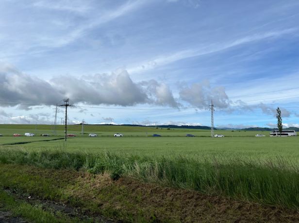
We swept along smoothly, but quite sedately. As I said, it was not very warm but, far ahead we could either both see a touch of blue sky or we were jointly hallucinating. Our belated departure meant there were quite a few cars about with people either taking their children to school or hurrying to work at homicidal speed.
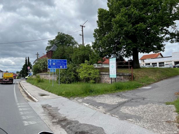
The road climbed high into what were low mountains. Various small villages and towns lined the route. The first real town was Špišská Belá where there was a traffic jam for no discernible reason. The early hour meant it was going to school time, which also meant watching the speed in case of inattentive children. We left the town and droned towards our first major conurbation of the day, Poprad.
One small village we passed through was called Kežmarok, which I was informed, via the intercom, was historically a very important trading centre.
When we came to Poprad, which is a fairly major town.
There we discovered that the road through the centre, which was, of course, Route 66, had been closed for repairs, for over a year ……
That necessitated a small detour that was fortunately well signposted and we relocated our “quarry” quite easily and continued riding South.
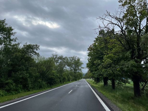
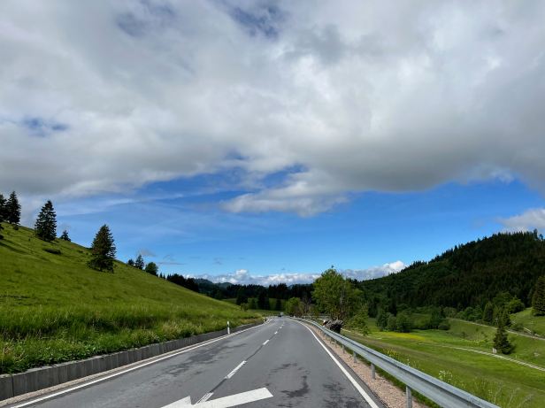
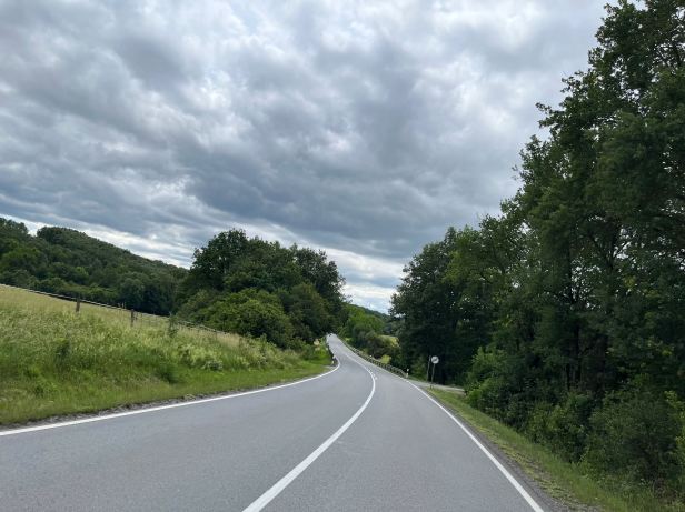
I have ridden the “real” Route 66, from Chicago to Santa Monica and part of its charm was the sheer loneliness of some of the stretches of road. The one in Slovakia is almost the opposite. The sun now burst through the clouds and, in warming sunshine, we rode through the countryside and passed through a succession of small towns and villages in short order.
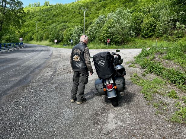
The road was not a wide one and it was quite twisty in a lot of places. After the first hour or so of riding we stopped for a short break at a safe spot. The sun was out, the sky was light blue and birds were twittering away in the trees. As Lucie remarked, “THIS is what it is all about”.
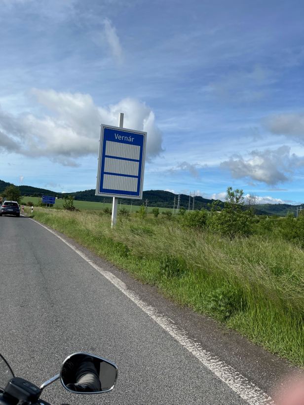
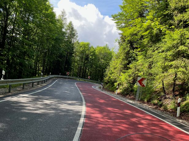
After Vernár, we began to climb what is called Vernárske Sedlo, Here the route crosses the edge of the Low Tatras. This involved a five kilometre, hairpin filled climb, to a height of over 1,050 metres – which was naturally followed by a descent of the same length and tortuousness. On a heavy bike, needing to use low gears on the sharp turns, it was taxing enough.
But, it was made quite worrying by a pair of white delivery vans, already travelling about half a metre apart who caught us up and seemed to think I might find the same amount of separation amusing ! At the risk of sounding grumpy, how do these people get driving licences ? Finally, there was a small straight and I slowed to let them past – which they did at high speed. They passed close enough to make us wobble – and then they were gone.
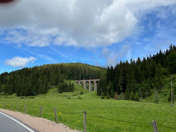
We carried on. As we approached Telgárt, we spotted the Telgártsky viadukt on our right. This, as its name suggests, is a nice viaduct for the railway.
As Lucie put her iPhone away, we passed a blue and white, Route 66 shield with the town name, just like they have in the USA. Unfortunately, it was behind us before she could retrieve her ‘phone and snap it.
Luckily, in Heľpa, there was a similar one, which she did capture.
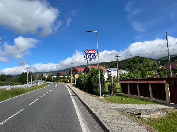
Luce is a mine of information and I was given some information about anywhere we passed through if she knew something. Thus, I learned that Heľpa is also the subject of a song – although, apparently, one usually sung after (more than just) a few drinks.
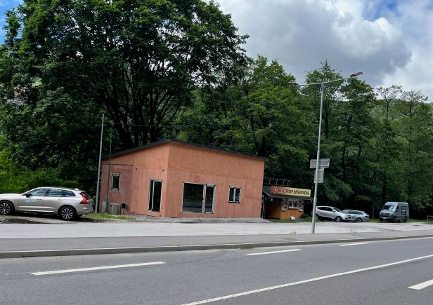
In our travels, we have found that the small cafes in Shell stations usually have something we both like to eat – although, as neither of us had eaten any breakfast, that was quite a low bar. Lucie’s Mapy app directed us to one on the outskirts of Brezno. This was a substantial town and once home of a significant steel plant. The huge dilapidated sheds crammed with rusting debris still line the road for quite a distance.
On the road out of town, Lucie spotted a place specialising in “gluten free” food – neither of us could imagine that doing a lot of trade.
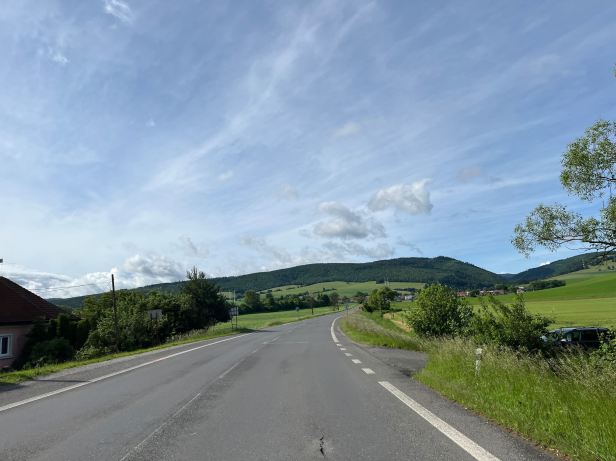
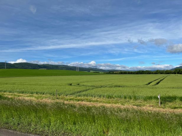
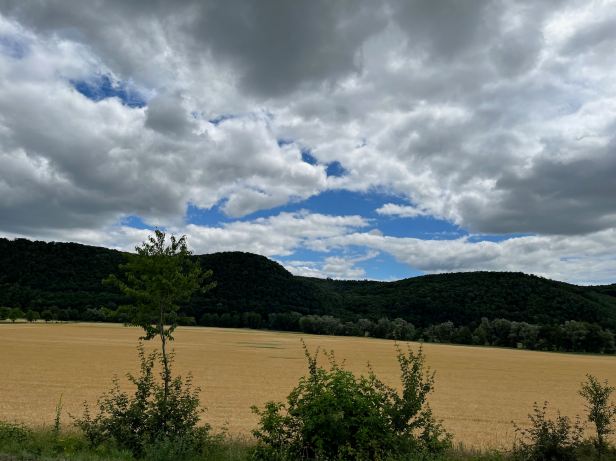
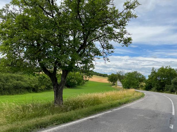
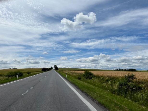
Heading South out of Brezno we proceeded through the central part of Slovakia, which is, paradoxically, its most remote and rural part. The scenery was beautiful, but a bit old fashioned – like a painting by Constable, but with tractors and cars. .
Some businesses, at least, appeared to be embracing the “possibilities” afforded by their location …….
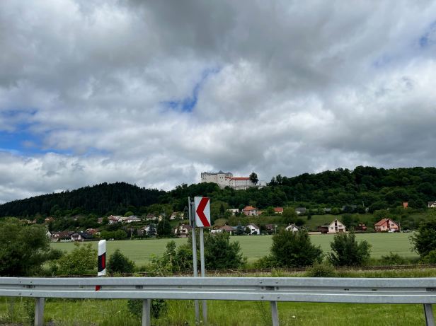
….. and there was a nice Zámek (a chateau, as opposed to a castle) up on a hill ……….
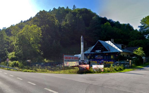
In truth, there are not really many landmarks as such, but passing the village of Nemecká, which, as its name suggests if you translate it, was once a German settlement, there was what appears to be a white memorial of some kind on the right.
Oddly, just a couple of kilometres further on, there was what appeared to be a missile, standing outside of what seemed to be a garden centre.
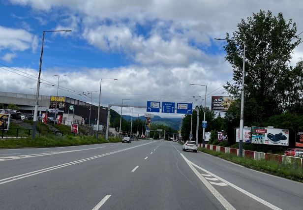
The next place of note was Banská Bystricka and it was here that we encountered our first problems following what had hitherto been a well marked route. Again, it is quite a large place and, for some reason a new motorway has been constructed that basically joins it to two of the next “Route” towns, Sliač and Zvolen. The signposting for “66” simply vanished, but ever resourceful Lucie managed to find it on the Mapy app and we were able to rejoin the “old” way.
At one point we ran parallel to the motorway on its left hand side – which is at leat an homage to the USA version and I-55.
We passed through Sliač which has a military airport and some army barracks. The airport appears unused, but the security cameras were impressive. The barracks are occupied though, armed sentries guarded the gates.
At Zvolen, finding the way again became difficult as it was complicated by the new motorway.
Using Mapy, we relocated it, but Lucie was convinced that one “labelled” stretch (the signs had “66” on them, was not the original route. In fairly heavy traffic, I could do little but follow the signs.
We were now on the home stretch.
The “66” kilometre markers had, seemingly, long since disappeared, but were actually different in as much as they were one sided – and facing away from us so as to be visible to those heading North ….
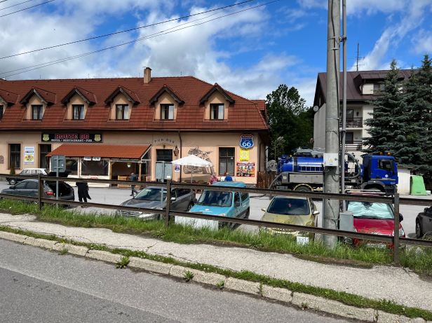
In the interests of general cheesiness, we began to look for kilometre 66 – and we found it a little to the North of Podzámčok. We stopped for some corny snaps, much to the bewilderment of passing traffic !
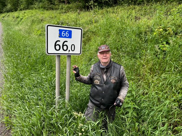
Of course, Lucie queried how the distance markers in the far North could still be correct if you considered that the Route had, so obviously, moved a bit. You cannot argue with that. But, you cannot do anything about it, either. The 66 Kilometre marker was almost precisely 66 kilometres from the border at least.
As we neared the Hungarian border, the level of freight traffic increased markedly.
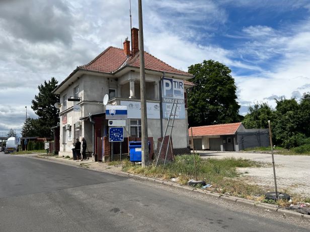
Large HGVs (TIRs) were parked in every available parking area and lay-by and the road was very busy with moving ones. The road was narrow, twisty and busy in both directions. Overtaking was risky and there were long stretches with no pull offs. Of course it was here that an enormous HGV decided that we were not going fast enough. He came up so close behind us that I could only see half his grille in the mirrors and I could hear his engine above my own. If I had thought that some moron in a van was scary, this was in a totally different league.
On rises, I left him behind and searched the way ahead for somewhere to pull off safely– but there was nowhere at all – and on the descents he rushed up behind us again. Lucie was getting really worried. Another rise, with no way off and then a descent through a village, where the speed limit was 50 kph. I started to slow, but before I got down to fifty he was about twenty centimetres behind me. If you have ever seen the old movie “Duel”, you will know how I felt. I was practically being pushed along by the “bow wave” of air that a heavy truck displaces.
The end result was that I went through the village some way over the speed limit – and, of course there was a speed trap. A short distance further on, a Policeman stepped out and gestured both us and the truck into a lay-by. Ironically, that is just where I would have gone anyway, had he not stepped out.
Lucie wasted no time putting the Policeman into the picture, but we still copped a twenty Euro speeding fine. Chummy in the truck, who did not look like the psychopath he so obviously was when he got out of it, was not, we felt, going to be so lucky. Lucie heard sums of a far larger magnitude being bandied about as she paid our fine, grabbed my documents and we quickly low-tailed it out of there ….
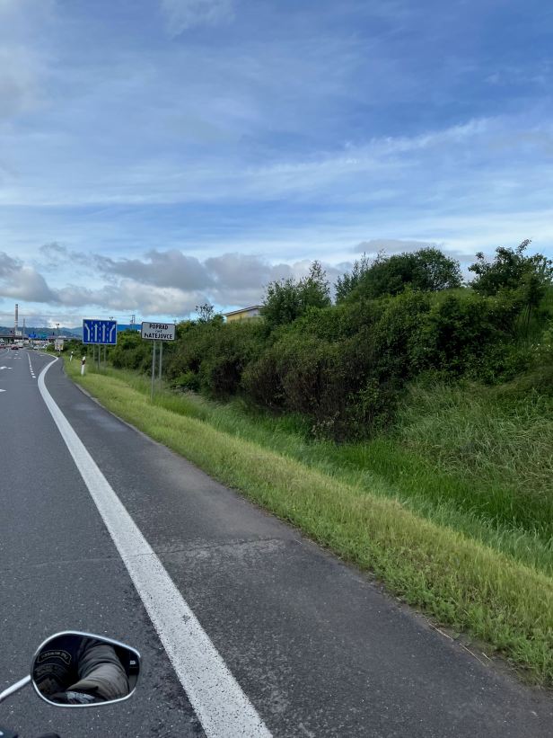
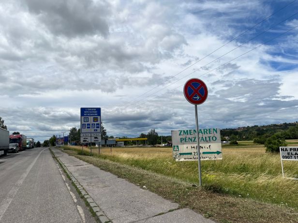
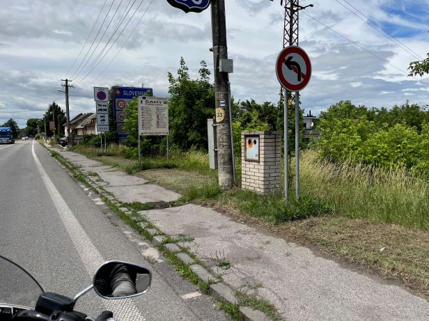
We then wended our leisurely way to Šahy on the border.
We passed into Hungary, where Route 66 became Route 2, which is the E77 (complete with shield) – we had done it. A little over five hours, end-to-end, including breaks, diversions and chats with the Police.
Box ticked.
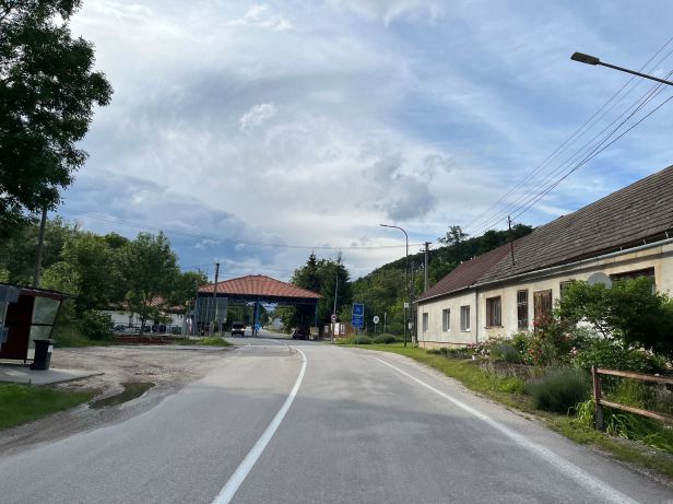
Although both Hungary and Slovakia are EU nations, there were some desultory border checks being made by the Slovaks. The checkers were slightly bemused when, fifty metres into Hungary, we turned around in the road and came back out again. They did not bother us in either direction.
Because all the pictures were taken on Lucie’s iPhone, which is hard to operate on the back seat of a moving motorcycle, there are a few gaps, but you can see the whole ride here – or on YouTube …
=
We retired to a petrol station, OMV this time, where we filled the Harley with petrol and ourselves with coffee and Lucie outlined her plan for the rest of the day.
She wanted to head for the Chřiby Mountains, which are in the East of the Czech Republic. On the assumption that all would go well on Route 66, she had already pre-planned everything. She sat at a table in a petrol station and booked a hotel on booking.com. using her iPhone. Technology, eh ?
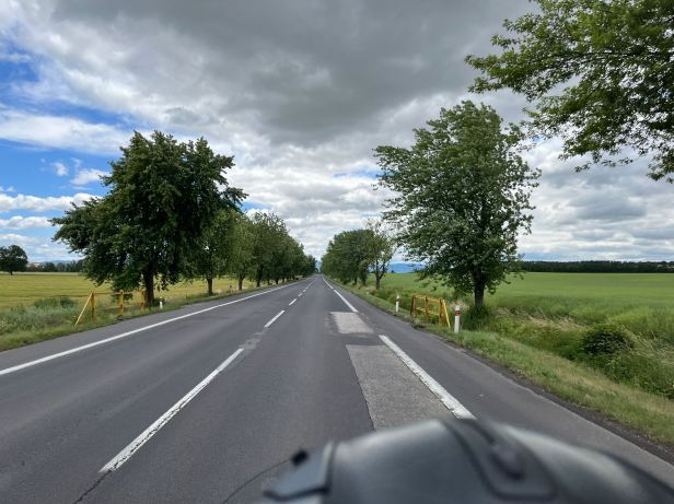
The hotel was over 250 kilometres away, which was actually farther than we had already ridden. The SatNav guided us to a cross country route towards Nitra the Slovak Road 75, which was designated as suitable for TIRs. Luckily, most of them were coming towards us and the road was wide, generally well surfaced and, in TIR friendly style had no hard corners, just curves. In the now quite warm sunshine, we sped along as the road morphed into Road 76 and then Road 51. It was glorious, by far the best riding of the day for me (sorry Route 66).
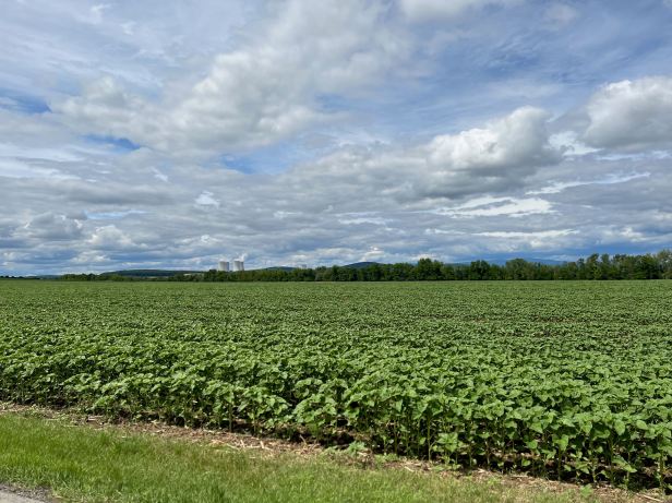
The whole area had a very Hungarian aspect, indeed, the bulk of its population is ethnically Hungarian. Town signs were in both Slovak and Hungarian It was exclusively agricultural, Lucie said that, in the days of “Czechoslovakia” its alluvial soil had the highest crop yields in the whole State.
Lucie’s brain never sleeps and she decided not just that we needed some lunch, but that we needed to eat it at the Restauracia Penziónu Lapáš U Hoffera (501, Veľký Lapáš) . It was on the approach to Nitra, right beside Road 51, which was the road we were then on. The food (we had different “pulled pork” dishes) was good, the staff were friendly and the price was fair.
Best of all, it was OPEN ! Are you listening in Poland ?
Just before the town of Nitra we joined the R1 motorway (E58) which we zoomed along for about fifty kilometres until, just short of Trnava, we branched onto the Slovak D1 motorway (E75) for an eighty kilometre blast to the North. Blast may be overstating it slightly, nowhere did we exceed 110 kph, but I actually think it did the Harley some good. We stopped in a Service Area for a cup of coffee and, when I started it up again, it purred away very smoothly indeed ….
We left the D1 and droned through the seemingly endless strings of villages that ended Slovakia – and then crossed the border (our fifth one of the day).
Those villages that began the Czech Republic, somehow seemed tidier and better cared for.
On the Slovak side, we had passed close to the towns of Čachtice and Beckov, both closely associated with the so called “Blood Countess”, Elizabeth Bathory. On the Czech side, we went right through the town of Slavkov. I thought that might be the site of a battle fought by Napoleon in 1805, but it was not, it just had the same name.
This more urban riding took an age and, on the Western Skyline (another idea for a song) dark clouds were heading our way fast. You could tell that, in the near distance, it was already raining.
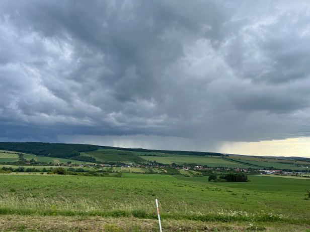
We stopped and put on our day-glo rain jackets, figuring that trousers dry more easily and sped off again. The first splatters of rain hit my visor seconds later, but it was only for a minute or so and then it stopped again and, luckily, did not resume.
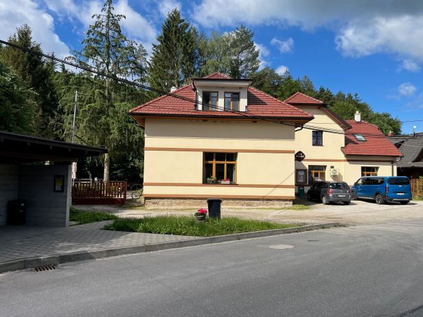
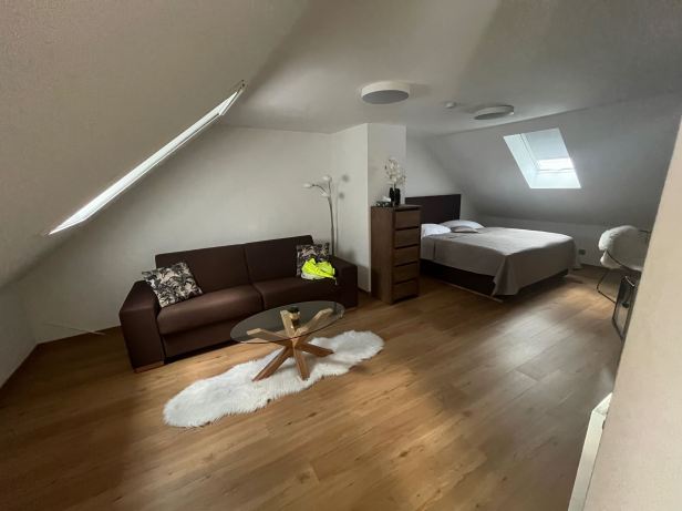
After a slight hold up because the emergency services were attending to a crashed moped (luckily, the rider was wriggling, but it always gives you pause for thought) we cruised into the foothills of the Chřby mountains. Just to the North of Velehrad, which has a huge church and is a famous Catholic pilgrimage site, Lucie had booked us a room in the Penzion Salaš (Salaš 21). The village was small and quite isolated, but the host was very friendly and our room was very well thought out and gorgeous.
Sadly, the restaurant of the penzion was not open, but after our substantial and fairly late lunch, that was not really an issue. The host even gave me real milk for my cup of tea, which I made with the kettle in our room.
I wrote this up – and then guess what I did ?
