Tuesday, June 2nd, 2026
Total distance ridden 244 Kilometres
Once we had spent Monday fully drying out (🙄), we set off again to continue our slightly mad quest to look for Menhirs.
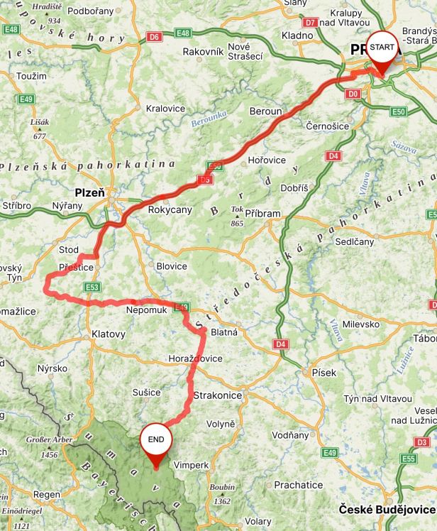
In bright sunshine, we crossed the city and droned South-West along the D5 Motorway in the direction of Plzeň.
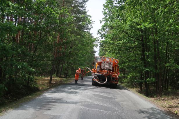
After 81 kilometres we took the helpfully labelled Exit 81 onto the Route 27 and South in the direction of Přeštice. This was a stretch of road with which I am very familiar as it features strongly in the annual “Sportster Challenge”, which is organised by Harley-Davidson Plzeň. However, we quite soon turned off into more narrow country roads, where we were helpfully held up for about a quarter of an hour by a man laboriously filling a hole in the road by squirting a mixture of tar and stones into it. If the state of the road behind the repair is any guide, he is going to be there a long, long, time.
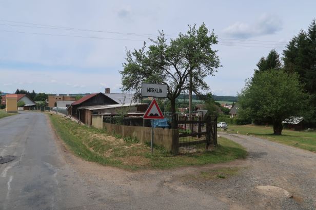
On the slightly dubious surface, we were rapidly passed by the surprising number of vehicles that had pulled up behind us. Quite soon we cut across the route of the Challenge at my favourite town of all, Merklín. I do not know why, but I cannot ever see that town sign without laughing !
We continued across some very rural countryside with tiny villages where the spacing of old buildings still determined the width of the road.
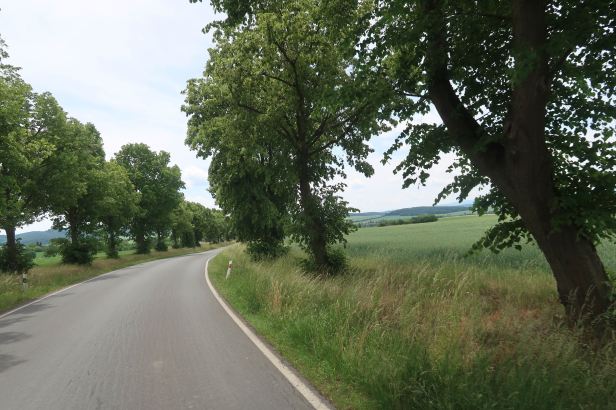
It was glorious, if slightly slow riding and, eventually we came to the town of Srbice.
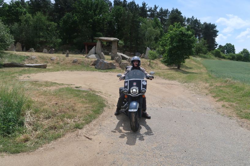
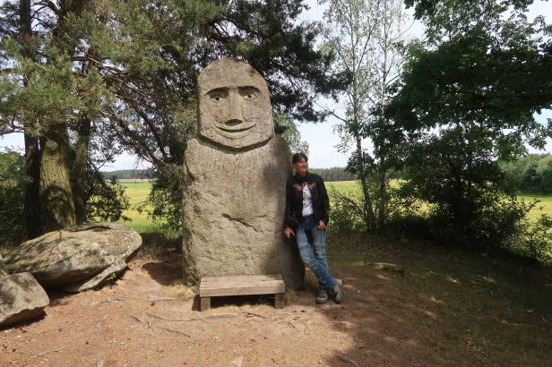
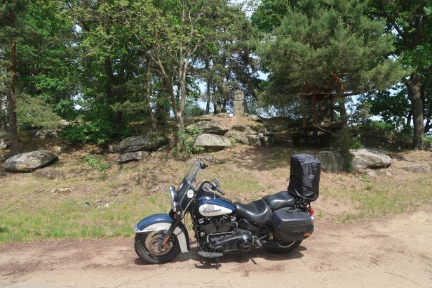
Srbice Stonehenge / Srbické Stonehenge
I had heard of this place, but I knew absolutely nothing about it. This enabled Lucie to, effectively, play a trick on me !
The “henge”, as these places are called, is located just outside of the West Bohemian village of Staňkov.
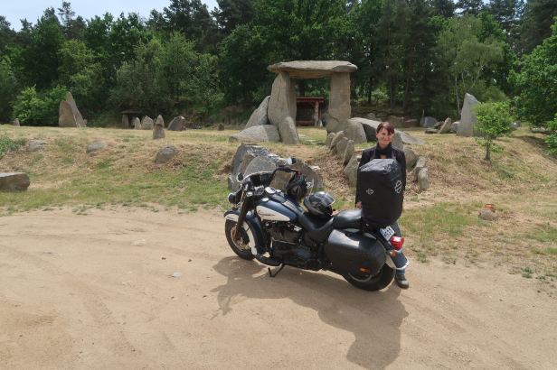
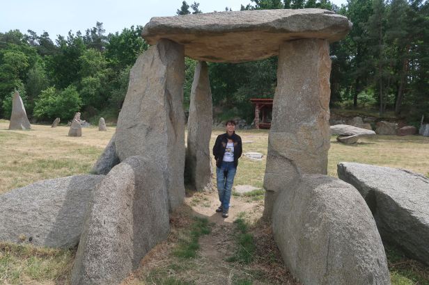
From a distance and, if I am honest, from close-up too, it looks the genuine article. However, the Srbice Stonehenge was constructed in the 21st Century and, by that, I mean the one we are in at the moment, NOT the one in “BC” times. Groups of stones, mainly from quarries in West Bohemia are arranged in the landscape. They were, of course, brought to the site in lorries, not dragged there on rollers – and put up with cranes, not laboriously levered upright and into place.
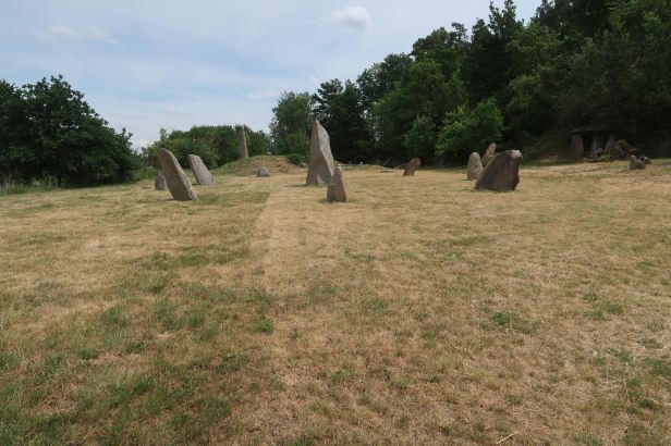
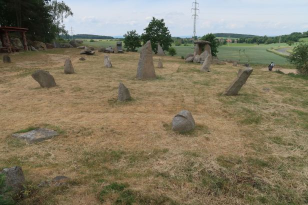
The prime mover behind the construction was Professor Jiří Beránek.

It was built to bring diversity to the local landscape and, let us face it, it works !
Although you could hardly miss it, the GPS location is 49.5082800N, 13.1333500E
===
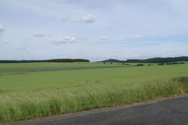
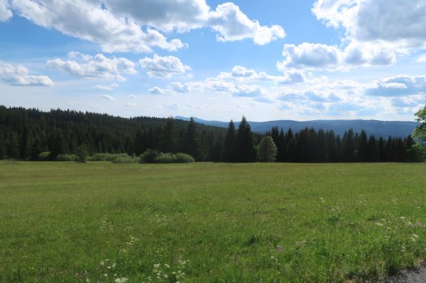
We set off again and rode through yet more beautiful countryside for about sixty kilometres. The hot sun on the fresh green vegetation of Spring gave a wonderful heady scent that was almost overwhelming at times, particularly where the SatNav’s insistence upon the “shortest” route drove us up byways that were almost farm tracks ….
===
Menhir Bába – Bezděkov
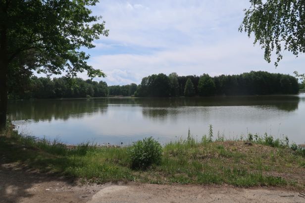
After a while, we came to Bezděkov, but that was more of a general locality than anything precise. Luckily, Lucie’s Mapy application on her iPhone guided us, unerringly up a real track at the large Bezděkov Fishpond (Velký Bezděkovský rybník) and there, in a grove of trees, was our target.

Again, although the construction probably fits the “criteria” of being a Menhir, there was nothing ancient about this one, either. It has stood quietly by the picturesque fishpond since 1986 (A.D.), which, to be fair DOES make it almost twice as old as the Srbice Stonehenge……
It was conceived by a local sculptor, Jiří Šulc, who located a suitable granite stone and carved a female face into it. He then transported it to the site with his friends and they erected it on a low mound facing the pond.
It was very peaceful there…..
The GPS location is 49.4139397N, 13.7535722E
===
That was, apparently, our Menhirs for the day.
We now set our course towards our base for the next couple of days, which was the tiny town of Horská Kvilda, high in the mountains of Šumava in South Bohemia.
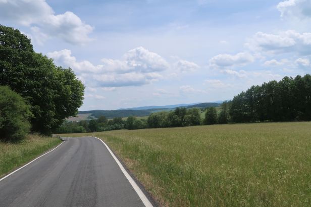
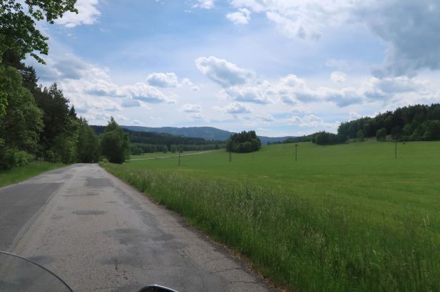
It was only about another sixty or so kilometres, but the roads were still very rural. The sights and scents of Spring, particularly as we began to gain altitude did contrive to make our slightly slow progress worthwhile.
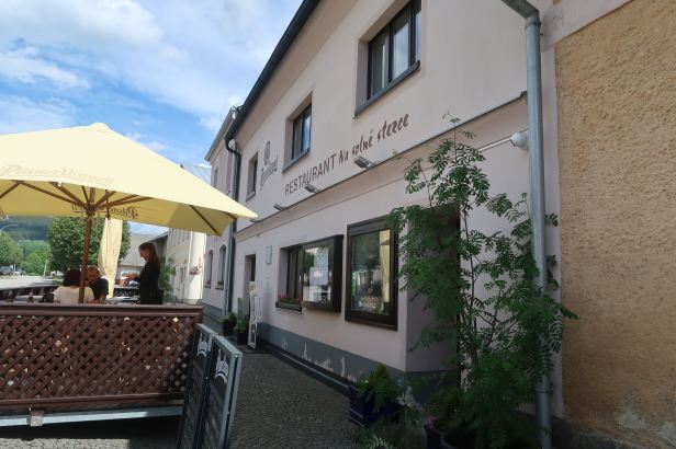
Lunchtime had loomed and faded away – so we were hungry. Lucie guided us to the town of Kašperské Hory, where she had located a place to have lunch.
We found it, easily enough, Restaurant Na Solné stezce (Dlouhá 92, Kašperské Hory) and dined “al fresco” in the sunshine. The food was good (the pickled beetroot in my salad was exceptional) and the service was smooth and efficient.
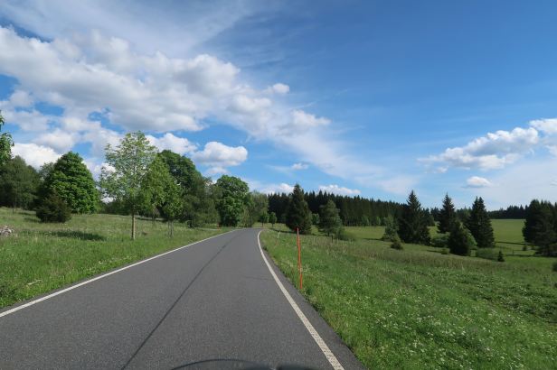
We were only about twenty-five kilometres between us and our final destination, but the SatNav’s predilection for the shortest route certainly made them all interesting.
The tiny and precipitous roads eventually led us to the plateau (that is what Kvilda means, in Czech).
We easily located our somewhat swanky lodgings, the Hotel Rankl (Horská Kvilda 18) – yes, it is a small place.
The Rankl was at the top edge of “functional” and the bottom edge of “swanky”. It was a sea of wood and everything (and I do mean everything) was very carefully thought out. Our room was spacious, our shower was good and the mattresses on the bed were superb.
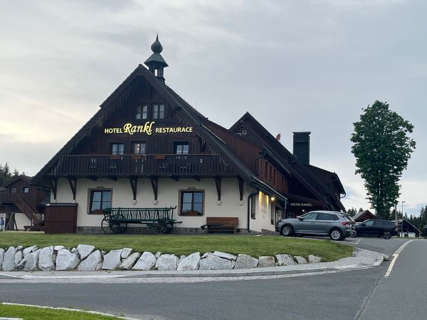

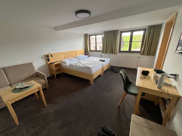
The staff were keen and courteous and the on-site restaurant good enough to keep most guests there for dinner.
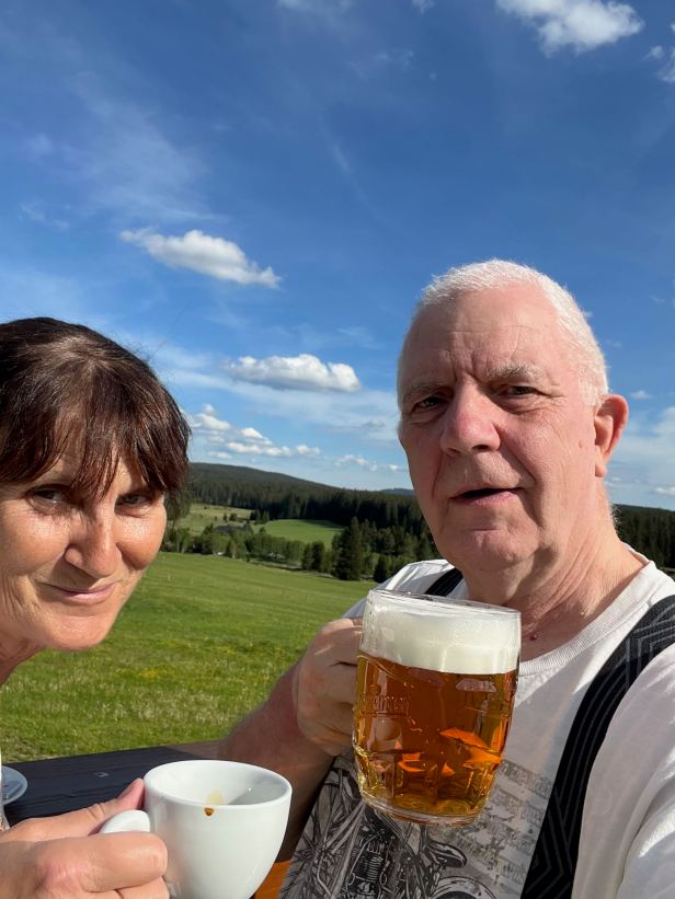
We rested up for a bit and took our Tuesday Night Drinks photo for our friends who were unlucky enough to be still in Prague.
Then we decided to take a short walk along the road. There were really only two possibilities, up the hill and back down – or down the hill and back up. We chose option two.
I often say this, but, when you live in a city, you forget what silence is. From the road there were long views to the forest across open meadows in every direction with the odd building here or there, mainly in the distance. It was so quiet that, apart from the gently gusting wind, you could have heard a pin drop – fifteen kilometres away.
Bliss !
Back in the Rankl, we had a fairly light evening meal and, in the last vestiges of daylight, retired to bed.
If you read this stuff with any regularity, you will already know what I did next !
